
Interactive Map
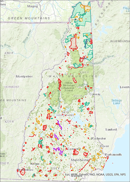
The Department of Natural & Cultural Resources’ State Lands Viewer allows the user to select the state property of their choice to view trails and other features and locate their position using GPS.
The Division of Forests & Lands owns, manages, co-manages and monitors almost one-half million acres of land statewide, from White Island Historic Site in Rye to Wantastiquet Mountain Natural Area in Chesterfield to Connecticut Lakes State Forest in Pittsburg.
For many of these properties, we work directly with Fish & Game, the U.S. Army Corps of Engineers and the U.S. Forest Service.
You can learn more about these properties by using our Interactive State Lands Viewer.